

THE FIRST GEOLOGICAL MAP OF EUROPE

THE FIRST GEOLOGICAL MAP OF EUROPE
MURCHISON, Sir Roderick Impey (1792–1871) and NICOL, James (1810–1879)
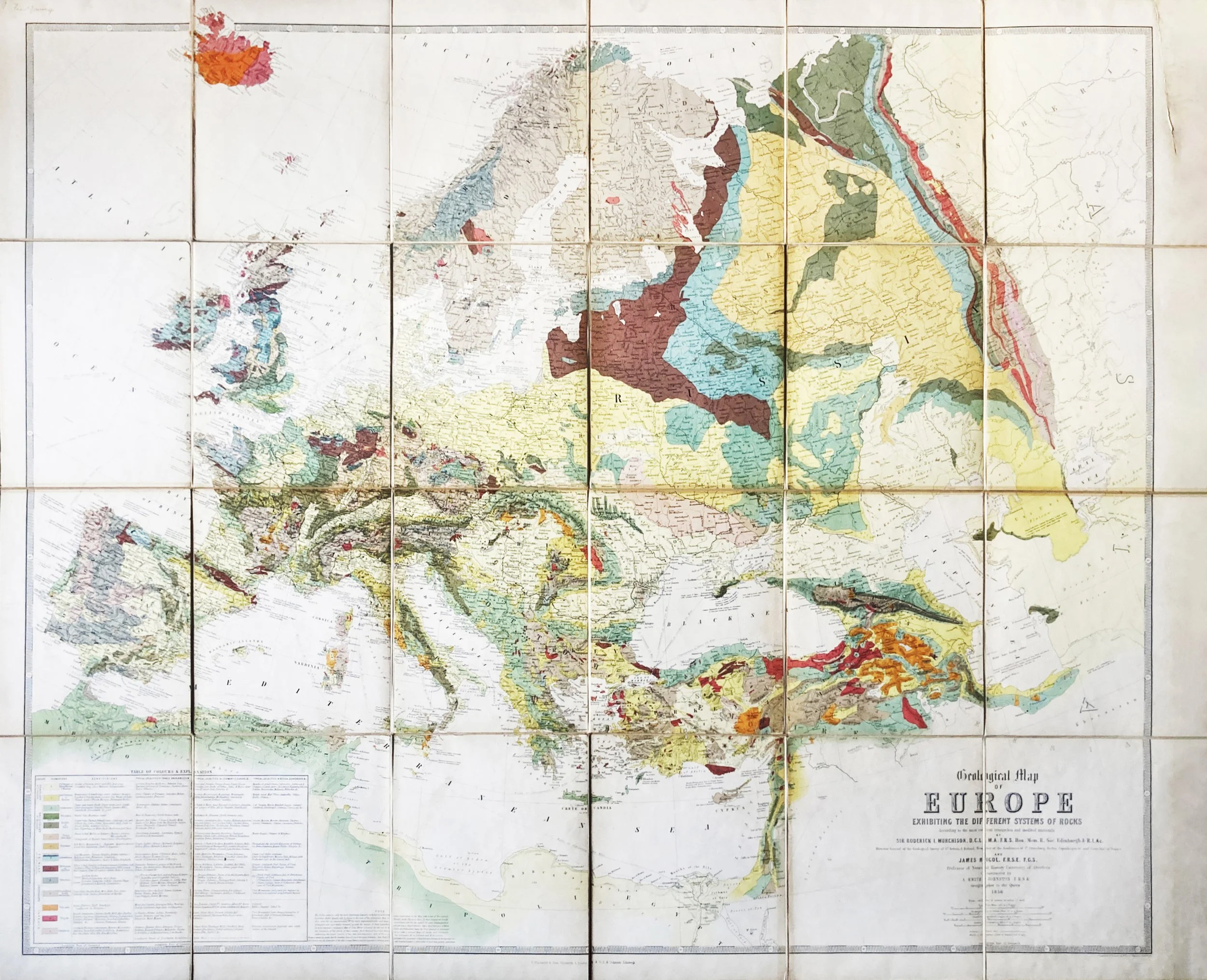
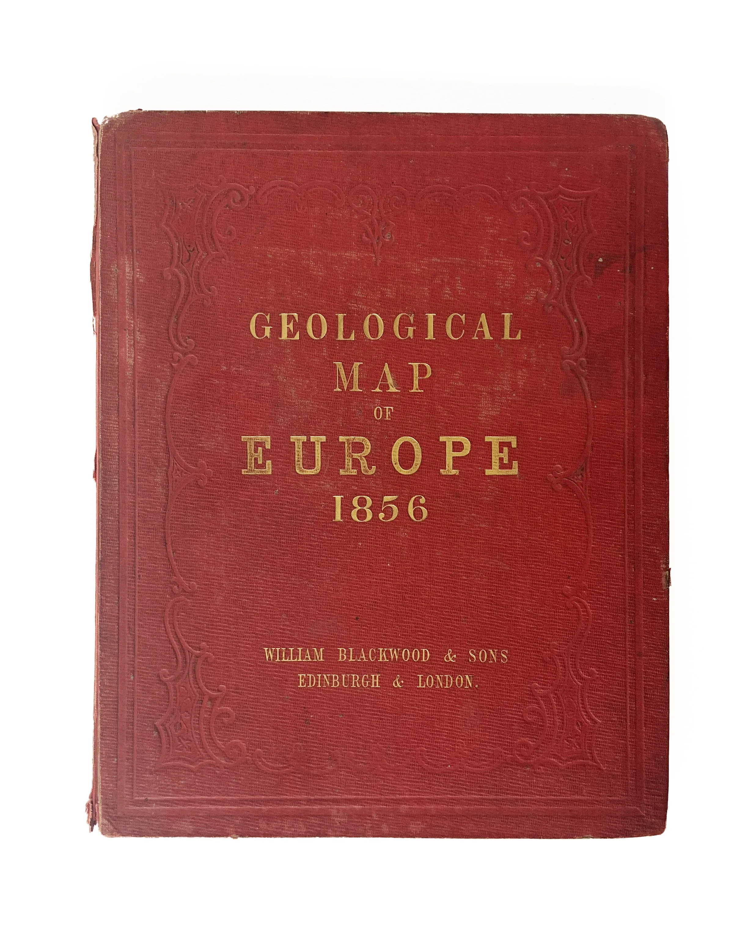
Geological Map of Europe Exhibiting the Different Systems of Rocks According to the Most Recent Researches and Unedited Materials
Edinburgh: W. Blackwood & Sons, & W. and A.K. Johnston, 1856
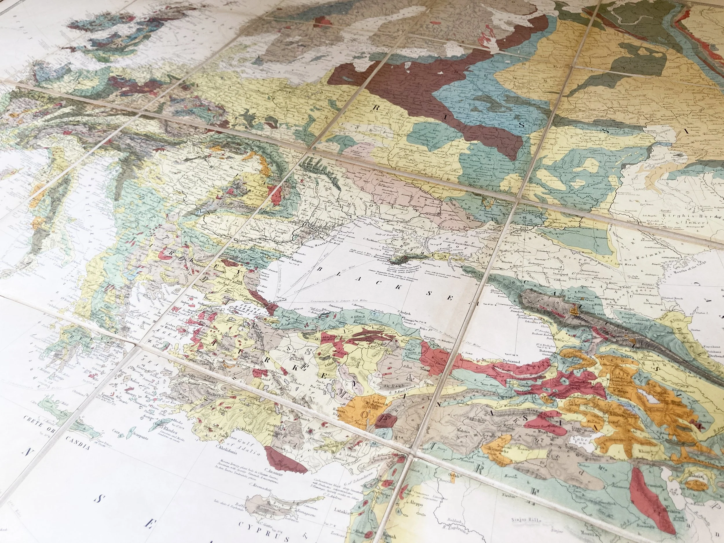
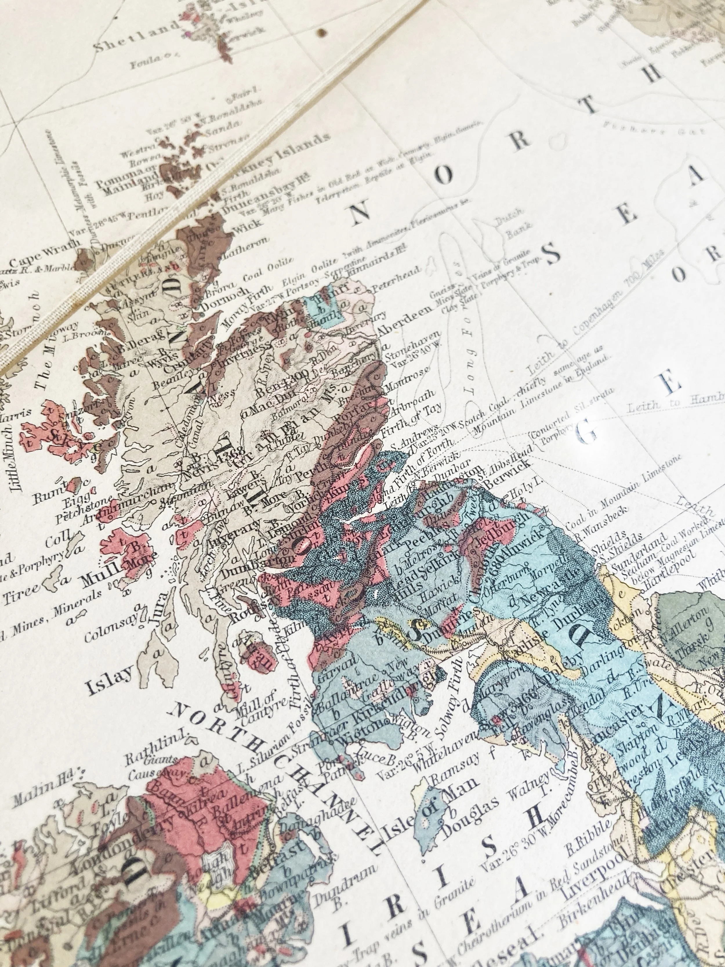
Folding engraved map (1300 x 1077mm), coloured by a contemporary hand, dissected and mounted on linen, scale of 1 inch to 76 miles (1:4,800,000)
Very good condition: cloth binding somewhat frayed; one flattened fold to a corner of one segment, otherwise the map itself is in excellent condition
Essay
A high point of victorian geology, and a stunning large-scale geological map – over a metre tall. Murchison and Nicol give a first overview of European stratigraphy and make a bold visual argument for deep geological time.
In 1839 Murchison published his monumental work The Silurian System, establishing the Silurian Period (now understood as 443–419Ma) and making a vital contribution to the understanding of the first phase of fossil-bearing rocks.
During the composition of The Silurian System Murchison had entered into a famous dispute with Henry De la Beche over the correct age of certain rock formations in Devon – the so-called ‘Great Devonian Controversy’. Murchison’s proposal, with Adam Sedgwick, was to designate a new period, the Devonian, between his Silurian and the more recent coal-bearing rocks of the Carboniferous. To do this Murchison undertook and ambitious geological survey of the Rhineland and parts of Russia, resulting not only in the confirmation of the Devonian but the further establishment of the Permian Period as a sequel to the Carboniferous. In 1849, with the account of west-Russian geology published, Murchison conceived of an ambitious large-scale geological map of Europe: the first of its kind ever produced.
By the middle of the nineteenth century Murchison’s pioneering work accounted almost the entirety of Victorian understanding of the period before the arrival of the dinosaurs: it is this vast achievement that is represented in the present map, which stretches from the south-west tip of Portugal to the edge of Siberia, and from Iceland in the north to the far shores of the Mediterranean in the south.
The only comparable project was that of the Belgian geologist André Dumont, whose European map was completed in 1857. Murchison saw a copy of this map while visiting Poppelsdorf, but perhaps predictably he considered it to be derivative of his own work.